Ground Truth from the Ground: How Street View is Transforming Crop Mapping
Knowing where crops are grown—and which crops—has become a fundamental requirement for managing plant disease risk. Wheat rust, maize streak virus, Xylella: each of these pathogens spreads along pathways defined by the spatial distribution of susceptible host crops. Mapping those crops enables early warning systems, outbreak simulations, and better-informed interventions.
Yet, in many regions, especially areas dominated by smallholders, such maps remain unavailable or out of date.
Recent advances in satellite-based crop classification have made it possible to generate large-scale, timely, and high-resolution crop maps. But these models still depend on ground truth data—real-world labels that enable the model to learn how to tell crops apart. And that’s where the bottleneck lies. Field surveys are the primary source of such ground truth data, but they’re slow, costly, and difficult to scale. Without enough ground truth data, even the most sophisticated remote sensing models can’t deliver reliable results.
In 2019, Ringland et al. [1] first proposed that Google Street View could help fill this gap. Their insight was strikingly simple: use roadside imagery, captured by passing vehicles, to identify what crops are being grown. If these images could be reliably classified by artificial intelligence, they could serve as an inexpensive, scalable source of ground truth data—replacing or supplementing traditional field surveys.
The idea has since been taken much further. In the United States, Yan and Ryu [2] trained deep learning models on thousands of Street View images from Illinois and California. They achieved over 92% accuracy in classifying crops such as corn, soy, almonds, and rice, and used those labels to generate crop maps validated against official USDA data.
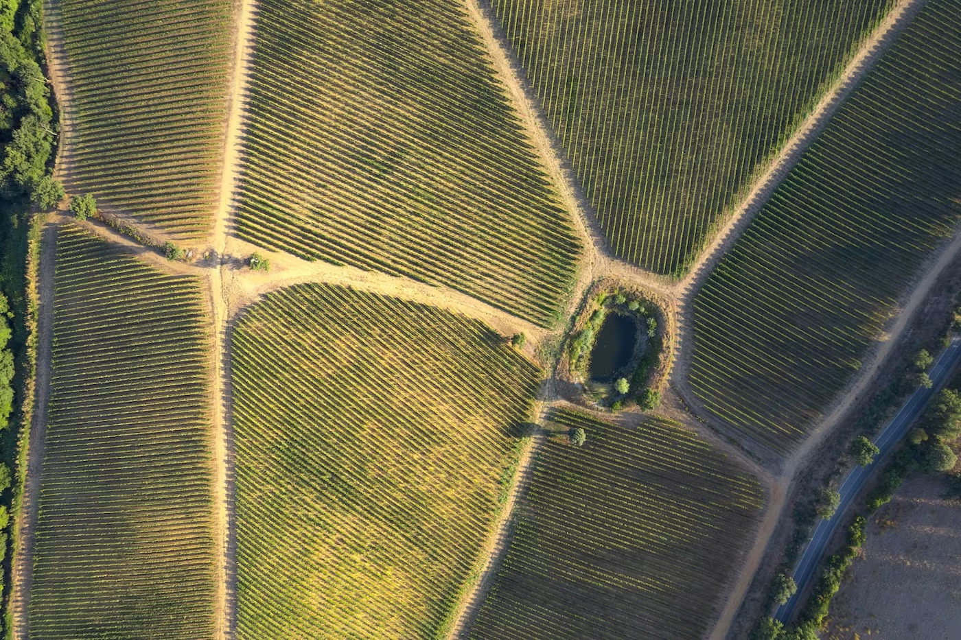
More recently, Soler et al. [3] demonstrated that the approach works at a national scale, even in smallholder regions. In Thailand, they filtered millions of Street View images, and used artificial intelligence to classify the crops. They then used those labels as ground truth to train a classifier based upon satellite imagery. The result was a seamless, 10-meter resolution crop map covering rice, cassava, maize, and sugarcane across the country—with 93% overall accuracy.
This opens the door to cost-effective crop monitoring across regions that were previously data-poor. The method is automated, scalable, and adaptable to new geographies and crop types. It requires no field crews, no expensive sensors—just road networks, Google Street View data, and modern AI.
As global challenges mount—from climate volatility to emerging plant pathogens—the ability to map, monitor, and model agricultural systems in near real time is becoming not just beneficial, but essential. By turning the world’s roads into a global sensor network, this technique offers a new and powerful lens on where food is grown—and how it might be protected.
References
- [1] Ringland, J., Bohm, M., Baek, S.-R., 2019. Characterization of food cultivation along roadside transects with Google Street View imagery and deep learning. Computers and Electronics in Agriculture 158, 36–50. https://doi.org/10.1016/j.compag.2019.01.014
- [2] Yan, Y., Ryu, Y., 2021. Exploring Google Street View with deep learning for crop type mapping. ISPRS Journal of Photogrammetry and Remote Sensing 171, 278–296. https://doi.org/10.1016/j.isprsjprs.2020.11.022
- [3] Soler, J.L., Friedel, T., Wang, S., 2024. Combining Deep Learning and Street View Imagery to Map Smallholder Crop Types. https://doi.org/10.48550/arXiv.2309.05930